
Integrating AI, GIS and MCDM in Maritime Digitalization
The TIDE Research Project pioneers the fusion of AI, GIS and MCDM approaches to explore technological innovations in the maritime sector.
2025-2028
Mobility Exchange and Research Collaboration Project funded by the HK-Dir, Norway.

Advancing Maritime Digitalization and Efficiency
The TIDE Research Project pioneers the fusion of AI, GIS, and MCDM approaches to explore technological innovations in maritime operations. From 2025 to 2028, this collaboration among University of South-Eastern Norway (USN), Texas A&M University Galveston (TAMUG), and The University of Tokyo (UTokyo) drives innovation for safer seas, improved maritime connectivity, and better decision making.

Blog
Explore latest news and results from the TIDE project partners.
-
USN students going for 3 months exchange to Tokyo and Texas in March 2026
Under WP 3: Student Exchange to TAMU, one USN student is going…
-
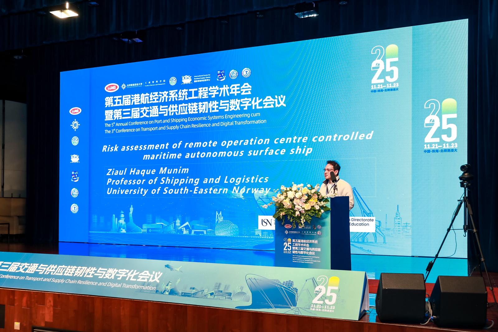
A review of four core maritime journals presented at an international conference in China
Two research from the TIDE project were presented at the The 5th…
-
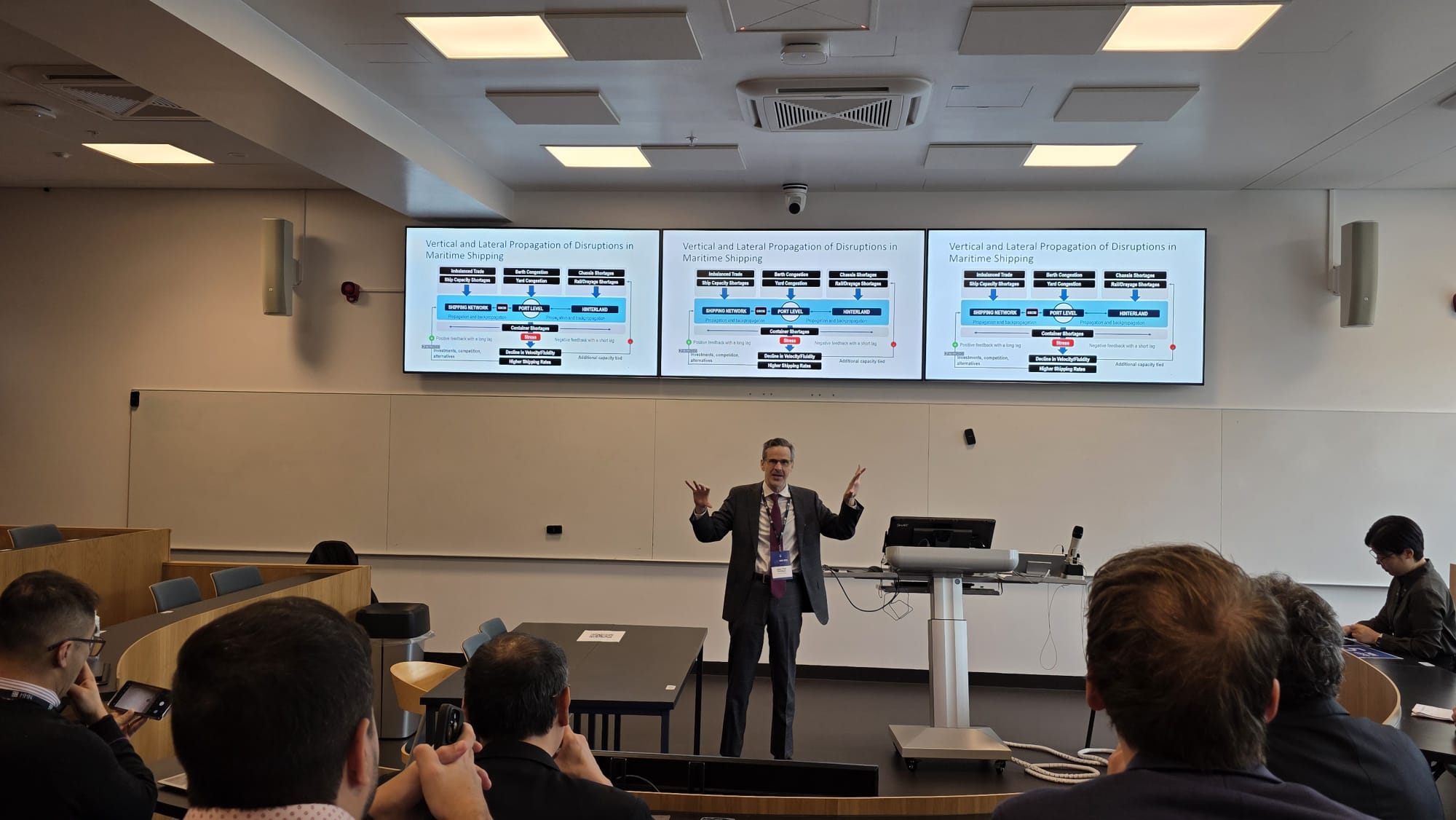
TIDE project participants attend IAME 2025 conference in Bergen
Both Japanese exchanges students at USN Yota Sasada and Kenta Kowatari, Associate…
Three (3) TIDE Courses
The project aims to develop Automated Machine Learning (AutoML) in Shipping, Geospatial Technologies for Maritime Sector, and Multi-Criteria Decision-Making (MCDM) in Transport and Logsitics courses to facilitate the application of advanced approaches in data analytics to facilitate integration of digital tools and technologies in the maritime sector.
Automated Machine Learning (AutoML) in Shipping
7.5 ECTS Master level course offered at USN from Fall 2026

Geospatial Technologies for Maritime Sector
7.5 ECTS Master level course under development by TAMUG

Multi-Criteria Decision-Making (MCDM) in Transport and Logsitics
7.5 ECTS Bachelor level course under development by USN
Global Collaboration for Technological Innovation in Maritime Sector
Contact our expert teams at the University of South-Eastern Norway, Texas A&M University- Galveston, and The University of Tokyo to learn more about the TIDE project.
